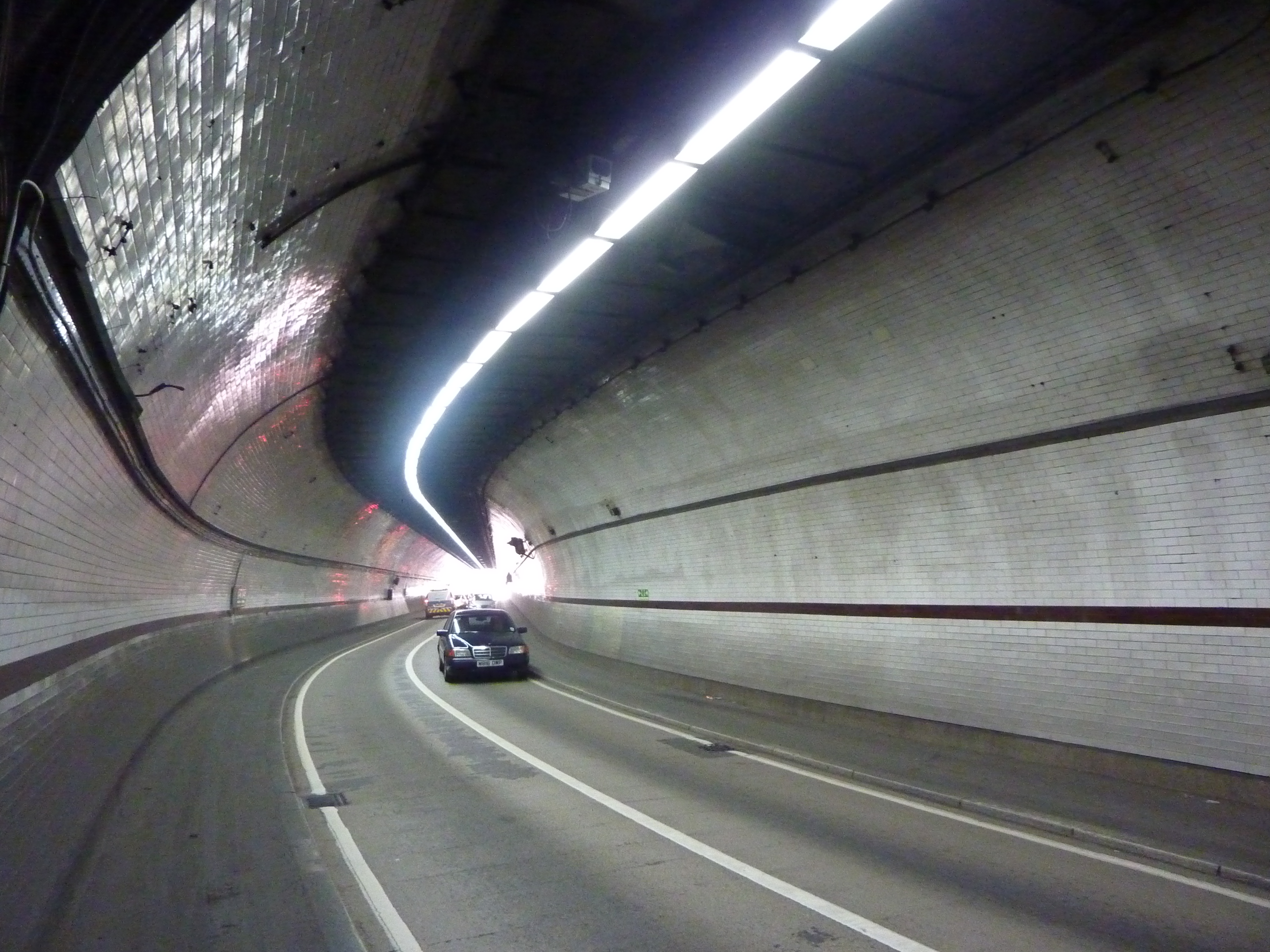
A couple of years ago, I went for a walk through the Rotherhithe Tunnel. I don’t mean Brunel’s Thames Tunnel, that home of ‘multifarious trumpery’ which now carries London Overground trains between Wapping and Rotherhithe. The Rotherhithe Tunnel is a bit further east of that. It was built by the London County Council in the 1900s to carry road traffic and it is still a crucial transport link between north and south London.

Rotherhithe Tunnel, London, 2010 (David Rooney)
I can’t easily recommend it as a place for a stroll. The pavements are narrow, the vehicles many, the air fume-laden and the noise infernal. But it’s a fascinating place for historical geographers to explore (though those with asthma should probably go through on Google Street View instead).
The point is this. Edwardian infrastructure projects in London – the Rotherhithe Tunnel, the building of Kingsway, and many more – were accompanied by mass house-building programmes. London itself, and the lives of many Londoners, were dislocated in the upheaval. One response was the making of photographs of the old streets and houses before they were lost forever, and many picture-books have been published depicting this ‘Lost London’.
But I think the photographs can tell some different stories – and I think the stories they can tell are rather important, politically as well as socially and culturally. So I have written about them.
Here’s the abstract:
“In the 1890s, the London County Council began a project to photograph old buildings in the capital. The common interpretation is that this was preservationist activity to record architectural treasures being ‘lost’. However, after 1899, many images appear not to fit neatly into a story of selective preservation. By examining metropolitan improvement schemes and the politics of housing, this article examines alternative contexts in which the images were made. It suggests the photographs acted in political dialogues about geographies of light and air, time and space, and the right place of working Londoners, as well as more mundane concerns over spending.”
If you’d like to read more, see David Rooney, ‘Visualization, decentralization and metropolitan improvement: ‘light-and-air’ and London County Council photographs, 1899–1908’, Urban History, 40, 3 (2013), 462–82. I’d love to know what you think. And if you decide to go for a walk through the Rotherhithe Tunnel, do be careful…
David Rooney (Curator of Time, Navigation and Transport, Science Museum / PhD student, Social and Cultural Geography Research Group, Royal Holloway / @rooneyvision)